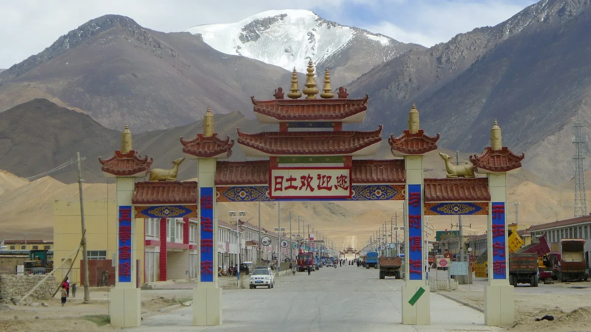
Rutog County Route Node
The Rutog node relays traffic towards Pangong Tso and the rock-art sites, with a fuel station, guesthouses and a checkpoint in town. Beyond it lies border-management territory, so permits must be ready.
Overview
Quick facts about Rutog County Route Node
The Rutog node relays traffic towards Pangong Tso and the rock-art sites, with a fuel station, guesthouses and a checkpoint in town. Beyond it lies border-management territory, so permits must be ready.
| Type | Transport Gateway |
|---|---|
| Altitude | 4,250 m (13,944 ft) |
| Visit length | About 0.5 hours |
| Opening hours | 06:00–23:00 |
How to visit
Practical advice from our Lhasa team.
- Walk slowly. Steep stairs at altitude are harder — come on your second or third day, not the day you arrive.
- Taxi drop-off: Designated taxi rank on the station forecourt
- Bus: City buses and taxis meet each train
Hotels near Rutog County Route Node
Sorted by walking or driving distance when we have it; otherwise hotels we use in the same city.
Best time to visit
Average daily high and low in °C, and monthly rain in mm. Winter is cold and dry, with fewer visitors and lower hotel prices.
Nearby
Questions
Visiting Ngari?
Tell us your dates. A Lhasa specialist replies within one working day with a day-by-day plan and a price.