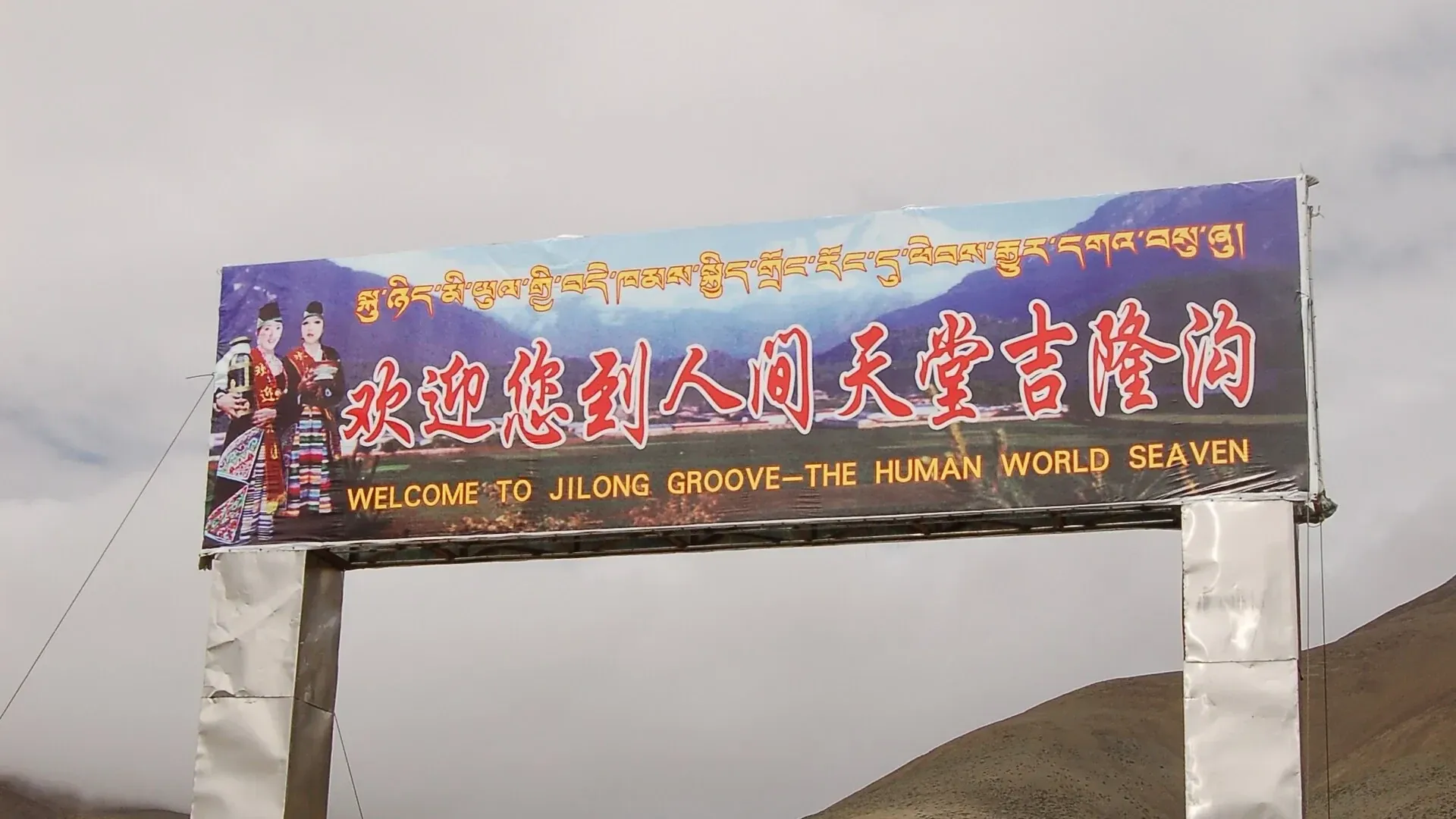
Gyirong Valley
Gyirong Valley drops more than 2,000 m from plateau meadow into subtropical forest on the southern flank of the Himalaya, one of Tibet's wettest corners. It also carries the historic Nepal trade route and today's border crossing, so a border-area permit is required.
Overview
Quick facts about Gyirong Valley
Gyirong Valley drops more than 2,000 m from plateau meadow into subtropical forest on the southern flank of the Himalaya, one of Tibet's wettest corners. It also carries the historic Nepal trade route and today's border crossing, so a border-area permit is required.
| Type | Valley |
|---|---|
| Altitude | 2,800 m (9,186 ft) |
| Visit length | About 2 hours |
| Opening hours | Daylight hours; check seasonal access |
| Good to know | Border-area permit and advance vehicle registration are required for foreign travellers. |
How to visit
Practical advice from our Lhasa team.
- Taxi drop-off: Designated parking area at the site entrance
- Bus: Access is by tour vehicle or chartered car
Hotels near Gyirong Valley
Sorted by walking or driving distance when we have it; otherwise hotels we use in the same city.
Best time to visit
Average daily high and low in °C, and monthly rain in mm. Winter is cold and dry, with fewer visitors and lower hotel prices.
Nearby
Questions
Visiting Shigatse?
Tell us your dates. A Lhasa specialist replies within one working day with a day-by-day plan and a price.