Road, season, permits and where you sleep, for the north side of Everest.
The road to base camp
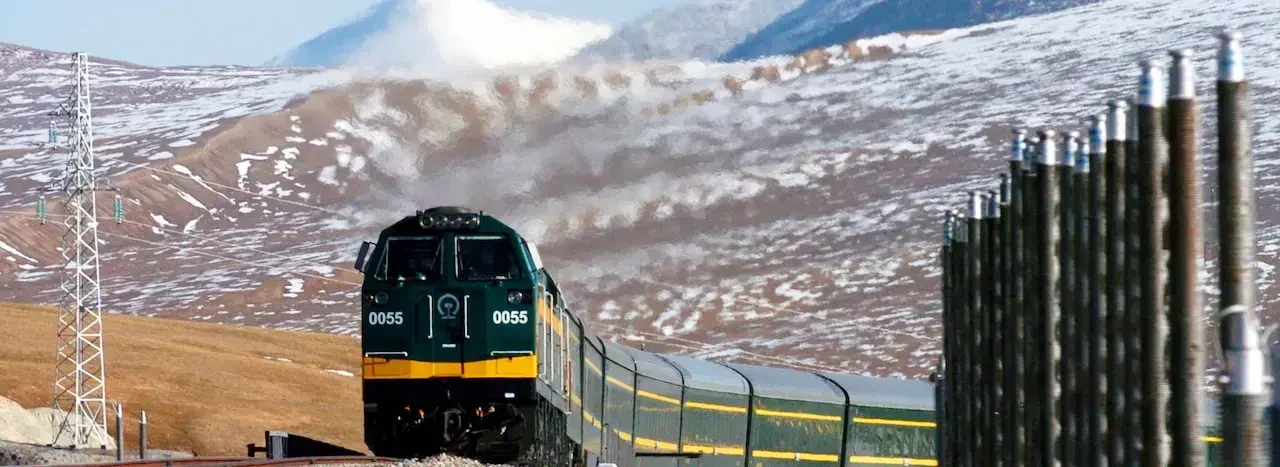
From Lhasa the route runs west over the Friendship Highway to Shigatse, then on to Tingri at about 4,300 m, with long driving days and views of the Himalayan range. Our eight-day trip takes the drive in stages: Shigatse on the fourth day, Tingri on the fifth, base camp on the sixth and back to Shigatse on the seventh. Roads can close briefly after rain or snow, so a spare day in the schedule is a good idea.
At base camp
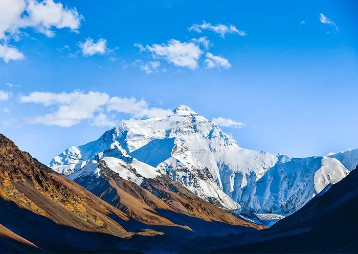
The road reaches Rongbuk Monastery and the tent village near base camp, at about 5,200 m on our route. On a clear evening the north face turns pink. It is cold and windy at any time of year. Walk slowly and stay close to your guide.
Where you sleep
The last proper hotel before base camp, at about 4,300 m. Rooms face the range and have heaters.
Basic rooms at 5,000 m, near the base camp. Cold and simple, but the closest bed to Everest.
The usual overnight stop on the way out and back, at 3,840 m.
Tell us your dates and we will reply with a plan and permit timeline.
Permits and rules
You need three documents: the Tibet Travel Permit, the Aliens’ Travel Permit for travel outside Lhasa, and a border permit for the Everest area. We file all of them. Border permits are issued case by case, so allow a little extra time. Entry is on a booked tour with a licensed guide.
Tell us your dates and we will reply with a plan and permit timeline.
Frequently asked questions
Can I trek to base camp?
The usual route drives to the tent village. Walking routes need extra permits and days. Ask us when you enquire.
How cold is it?
Very cold at night, even in summer. Pack a down jacket and warm layers.
Is altitude sickness a risk?
Yes. We go up in stages and carry oxygen in the vehicle. Our altitude guide explains how to prepare.
When are views best?
Mornings are usually clearer, and late April and October often bring the best views.